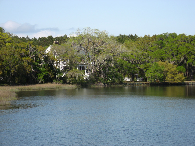
Russell Creek and Windsor Plantation (circa 1858) View
|
GPS Coordinates: N32-35.947 W80-20.777
Description: Cross bridge, park, and enjoy views of the only Edisto Island plantation house visible from the Byway. Site of a Civil War skirmish. |


