April 29, 2023
33 New Federal Grants for Scenic Byways announced
March 05, 2017
Edisto Island National Scenic Byway Update
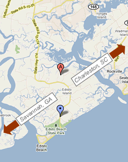
ATTRACTIONS MAP
The "Edi-slow" tour along the Scenic Byway from the Dawhoo River Bridge to the Atlantic Ocean will take you to 30 Points of Interest along the way.
NATURAL LANDS
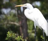
Edisto Island has over 50% of its landmass protected and many threatened or endangered species enjoy the natural habitat here.
HISTORY
Edisto’s rich heritage began 5,000 years ago with the Native Americans, followed by European colonization in the 1600’s, the Revolutionary War in the 1700’s and the Civil War in the1800’s
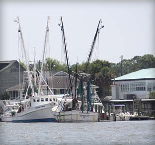
ACE BASIN RECREATION
Edisto Island is a barrier island lying within a large tidal basin known as the ACE Basin, where the Ashepoo, Combahee, and Edisto Rivers meander on their journey to the sea. There are numerous parks and nature trails throughout the ACE Basin.